
Deerfield Beach ZIP Directory Areas
Three ZIP codes are conventionally tied to Deerfield Beach. Two handle standard street delivery, while one serves post-office boxes. The east-west descriptions below are practical orientation, not hard neighborhood borders. USPS assigns mail routes, and Broward County maintains parcel and municipal geography. An edge address should always be checked by its full street line.
| ZIP Code | Areas Covered | Post Office | Notes |
|---|---|---|---|
| 33441 | Beach and island, The Cove, downtown, east of I-95, and nearby corridors | Deerfield Beach street delivery | Postal routes do not form an exact city polygon |
| 33442 | Century Village East, Deer Creek, Military Trail, Powerline Road, and west of I-95 | Western street delivery | Large condominium sites contain many unit records |
| 33443 | Deerfield Beach post-office boxes | PO Box service | Not a residential polygon |
No official USPS table found in the research assigns every named neighborhood to one ZIP. That gap matters near city edges and inside large developments. The sound method is to verify each address, retain its unit and directional prefix, then check the parcel jurisdiction. This Deerfield Beach ZIP code directory therefore treats neighborhood names as orientation only.
Verify a Deerfield Beach ZIP
The USPS ZIP Code Lookup is the authoritative first stop for a delivery ZIP and preferred city name. Enter the full street line, city, and state. Condominium searches need the unit when the form accepts it. USPS can standardize the result, but it does not disclose an occupant or decide legal city limits.
The postal form shown below is useful when a remembered ZIP conflicts with a deed, bill, or directory entry.
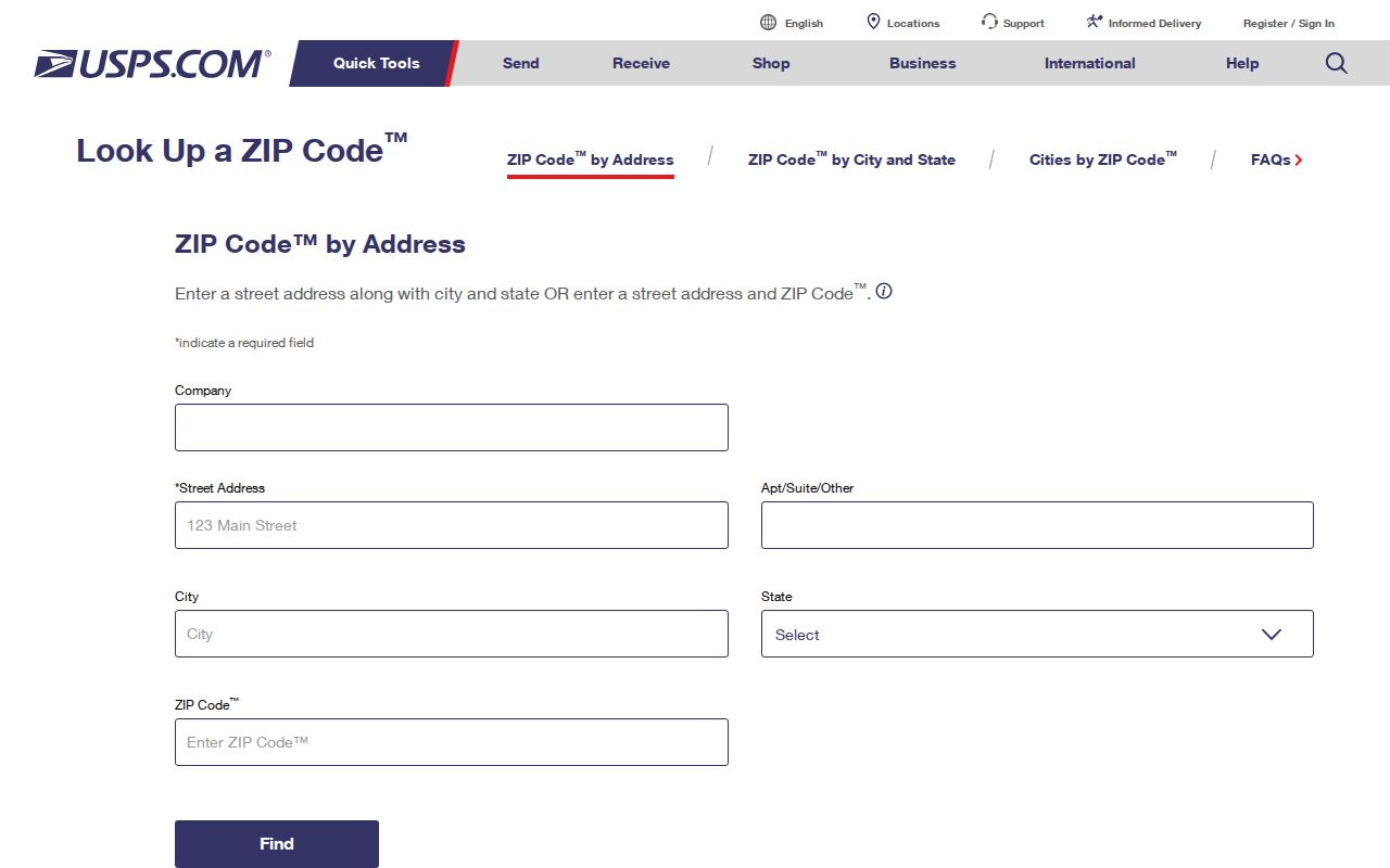
Copy the standardized address exactly. Then keep the delivery finding separate from the Broward parcel's municipality field.
| USPS mode | Input | Useful result |
|---|---|---|
| By Address | Street, city, state | Mailing ZIP and preferred city |
| By City and State | City and state | ZIP codes associated with the city label |
| Cities by ZIP | ZIP | Preferred and accepted postal names |
Deerfield Beach PO Box ZIP
ZIP 33443 is the local outlier. It functions for post-office boxes, so a 33443 mailing line cannot be plotted like a home in 33441 or 33442. It may be a valid contact address for an owner, business, estate, or association while saying nothing about the physical site.
When 33443 appears on a tax record, compare the owner mailing address with the property's situs address. Situs means the physical parcel location. That distinction prevents a PO box from being mistaken for a home or neighborhood.
Note: A PO-box ZIP can organize mail, but it cannot support a parcel count or a claim about Deerfield Beach residents.
Resolve Deerfield Beach ZIP Edges
The Broward County Property Appraiser connects an address to its municipality, folio, situs line, legal description, and assessed owner. The main form has no dedicated ZIP field. Search by address, owner, folio, or subdivision, then inspect the returned record. A folio is Broward's 12-digit parcel identifier and remains useful when mailing labels shift.
The Property Appraiser landing page below is the county gateway used after the postal check.

A property card describes ownership, assessment, and parcel geography. It is not a household roster. A mailing address that differs from the situs address is a follow-up fact, not proof of residence.
Map Deerfield Beach Postal Context
The Deerfield Beach GIS Maps and Data page points to local mapping resources. GIS means a geographic information system. It can place parcels beside municipal, flood, zoning, district, or postal layers when those layers are enabled. Layer dates still matter, and BCPA remains the ownership source.
The city GIS page shown here supplies the local map entry point.
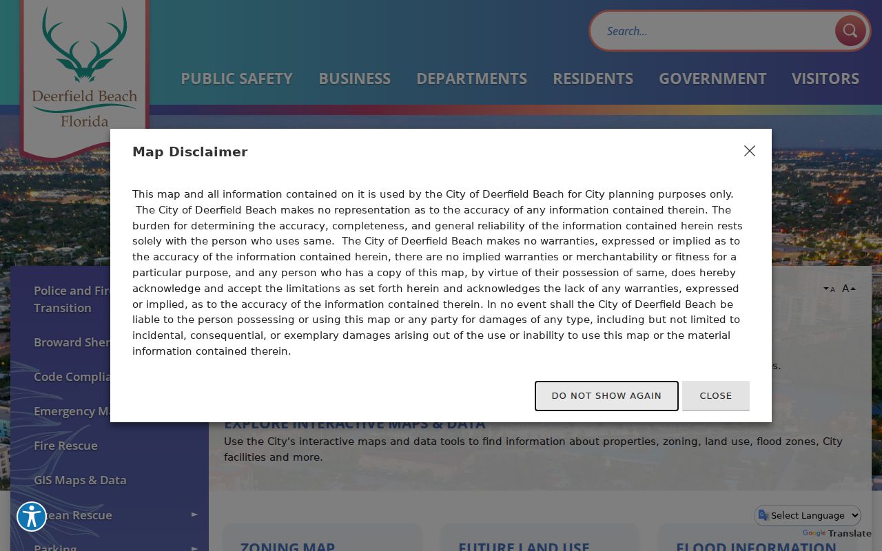
Use the map to see spatial relationships, then open the individual parcel record. A mapped ZIP polygon should not be read as a list of people.
Find Deerfield Beach Residents by ZIP
No public official portal offers an anonymous, complete browse of residents by ZIP. The useful routes are address verification, parcel review, map browsing, and a narrowly framed voter-record request. The Broward voter self-lookup requires a first name, last name, date of birth, and county; it is meant for individual registration checks, not ZIP-wide exploration.
- Verify the full address through USPS and record the standardized ZIP and city label.
- Search BCPA by the street address, then save the folio, municipality, situs, and subdivision.
- Compare the parcel with Broward or city GIS layers where ZIP and municipal boundaries are available.
- For public voter data, ask the Broward Supervisor of Elections for an existing extract or report defined by geography. Protected fields and nonvoters will be absent.
Once a ZIP narrows the area, the Deerfield Beach street directory explains the street-level parcel and deed process. Keep the source date because parcel rolls and voter files change.
East and West ZIP Patterns
ZIP 33441 generally captures eastern Deerfield Beach, including the beach, island, The Cove, downtown, and areas east of I-95. ZIP 33442 generally covers the western side, including Century Village East, Deer Creek, and communities near Military Trail and Powerline Road. These patterns help choose a starting map view.
They also reflect different development forms. The coast and older core may require searches under older city names, while western condominium developments can place many units at one base address. Unit, building identifier, association name, legal description, and folio should stay together. Street-only searching can merge separate condo records.
Deerfield incorporated as Deerfield in 1925 and took the Deerfield Beach name in 1939. Historic sources predate modern ZIP geography, so old deeds and directories should be searched under Deerfield and broader Broward or Fort Lauderdale headings.
Deerfield Beach ZIP Search Limits
Each official tool answers a different question. USPS verifies mail delivery. BCPA identifies parcels and assessed owners. GIS compares mapped boundaries. The elections office can produce lawful public records with required redactions. City permit and code systems work mainly by address. None alone creates a complete Deerfield Beach ZIP code directory of current occupants.
| Tool | ZIP method | What it cannot prove |
|---|---|---|
| USPS Lookup | Address, city/state, or cities by ZIP | Occupancy or city jurisdiction |
| BCPA Search | No dedicated main-form ZIP field | Renters or household members |
| GIS | Boundary layer where enabled | A current resident roster |
| Broward SOE | Defined public-record request | Protected voters, nonvoters, or ballot choices |
| City records | Address-keyed permits and code files | A reliable ZIP-wide directory |
Florida Public Records Law permits inspection and copying of existing public records, subject to exemptions and reasonable costs. Ask the custodian for a defined geography, snapshot date, desired fields, and electronic format. Do not demand a custom list the office does not keep.
Deerfield Beach ZIPs and City Limits
USPS city names describe delivery, not government jurisdiction. A mailing line may say Deerfield Beach while the parcel lies in unincorporated Broward or another municipality. Annexation can also bring an unchanged postal address into city jurisdiction. BCPA's municipality field and a current municipal-boundary layer resolve that mismatch.
For an edge address, use three checks in order: USPS for delivery, BCPA for the municipality and folio, and GIS for the boundary and nearby parcels. If the date matters, look for an annexation ordinance and determine whether an older permit belonged to Broward County rather than Deerfield Beach.
- ZIP code
- A five-digit USPS delivery area. It is not a city boundary.
- ZIP+4
- The basic ZIP plus four digits that narrow delivery to a segment, building, or group of boxes.
- PO-box ZIP
- A code used for mail delivered to post-office boxes, such as 33443.
- Carrier route
- A mail-delivery path within a ZIP, not a public list of residents.
Boundary check. A Deerfield Beach postal label is not proof of city limits; confirm the parcel municipality before requesting city records.